
Early morning drizzle stopped before the start of the 4½ mile walk, from the British Legion car park. The route out was on paths to the school playing field, before crossing the main A429 road to join The Monarchs Way and go up the one incline on the walk. Soon after we turned right to go down to Lower Slaughter, for a refreshment break. The rest of the walk was on level ground, leaving Lower Slaughter on the road in and crossing A429 again to join the bridleway opposite.
At the end we went right on a quiet country road for 300 metres and then right across several fields to reach The Oxfordshire Way, to go over 2 level footbridges. The path was wet where the River Eye had burst its banks. The route finished at Greystones Nature Reserve and then on urban paths back to the start.
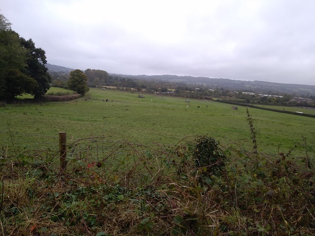
Looking across from Monarchs Way
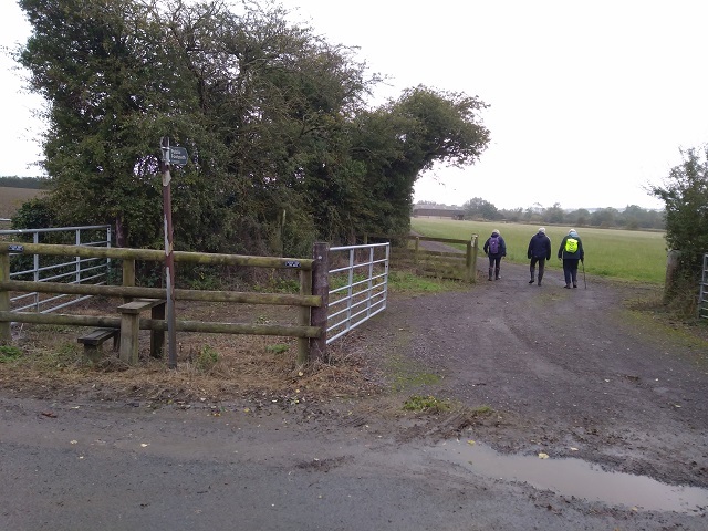
Starting on the path to The Oxfordshire Way